

Capturing Timeless Moments,Forever Preserved
Let us tell your story through our lens — creating cherished aerial perspectives and high-precision visual data to last a lifetime.
Our Offerings
Unveil our range of drone photography and aerial data services — tailored to preserve your cherished memories and project milestones.
 Featured
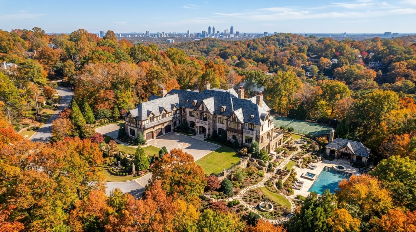
Real Estate
Professional photos, video, and drone imagery that make every property stand out. From luxury estates to commercial listings, our tailored approach ensures your property story shines through.
Explore Service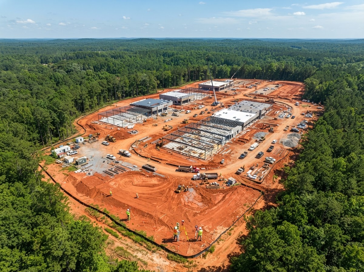
AEC Surveying
Scan complex terrain and job sites to create precise orthomosaics and 3D maps — keeping your ground teams safe and informed with accurate, repeatable aerial data.
Explore Service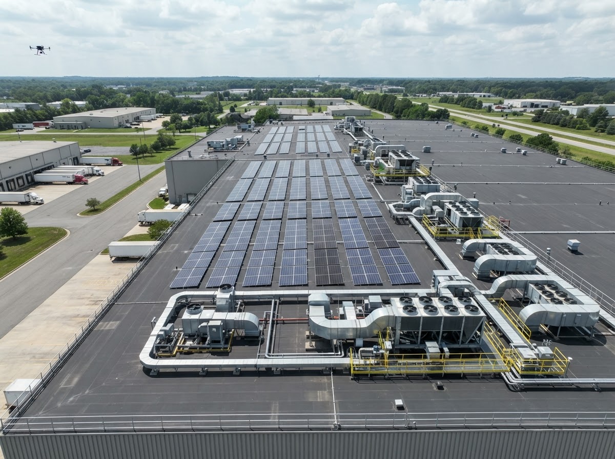
Roof Inspections
Inspect roofs, cell towers, utility lines, and structural assets closely without sending human technicians into dangerous heights. Detailed, documented, and defensible.
Explore Service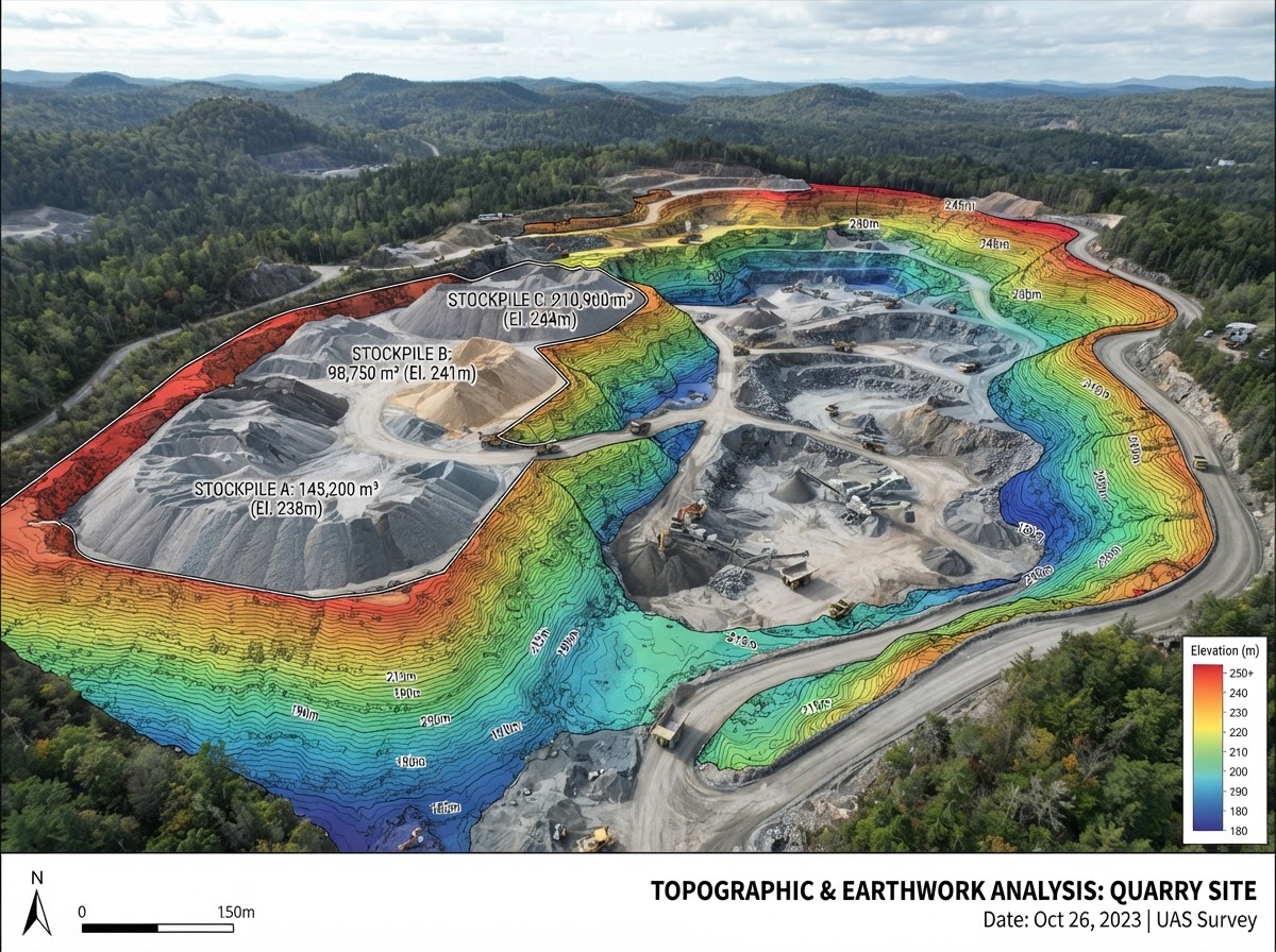
Volumetrics
Measure material stockpiles, pit volumes, and earthwork cut/fill quantities with speed and survey-grade precision. Replace manual surveys with rapid, repeatable aerial measurement.
Explore Service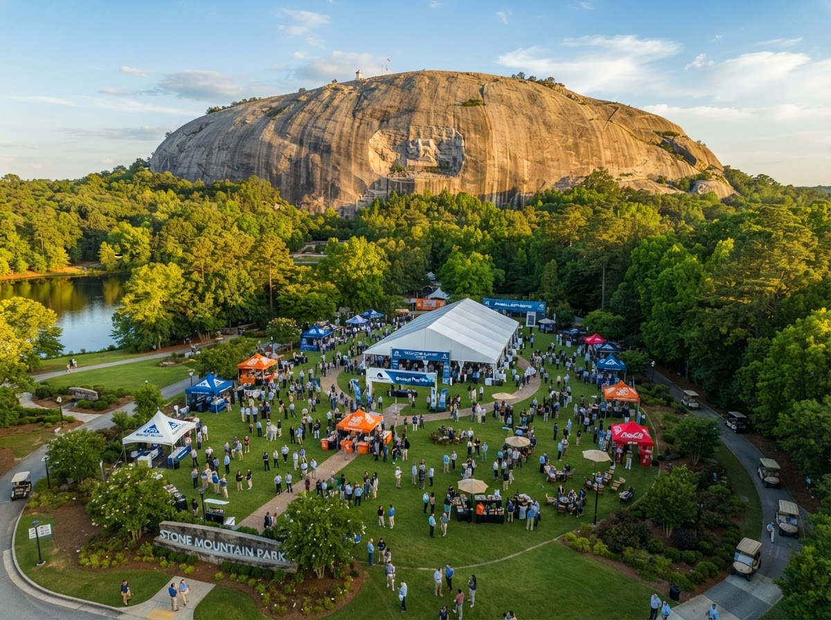
Marketing & Events
Impress your clients and elevate your brand image with professional corporate, real estate, and event aerial media. Broadcast-grade production for launches, events, and campaigns.
Explore Service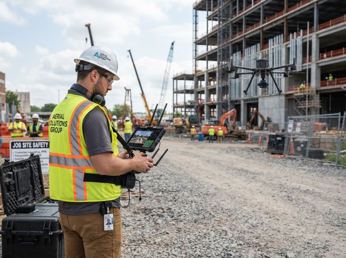
Enterprise Consulting
Build or scale your internal drone operations with expert guidance on FAA compliance, aircraft selection, pilot workflows, and data management infrastructure.
Explore ServiceListings That Sell Faster
Professional photos and video are a crucial part of any real estate marketing strategy. From luxury waterfront estates to commercial portfolios, our aerial + interior media packages make every property stand out from the crowd.
- HDR interior & exterior photography
- Cinematic 4K property video tours
- Aerial drone site perspectives
- Twilight & dusk showcase shots
500+
Projects Flown
100%
FAA Compliant
48–72hr
Avg Turnaround
Nationwide
Coverage
Testimonials
“P51 captured our site developments with unbelievable clarity. The photos and volumetric reports saved our project team weeks of effort.”
Jerry Phillips
Director of Operations, Graycor Development
“Their inspection photos of our commercial roof portfolio gave us exact moisture defect reports without putting a single person at risk on high slopes.”
Laura Tisinger
Facilities Director, Zenith Commercial
“Professional, fast, and 100% compliant. P51 handled all airspace approvals and delivered broadcast-grade videos for our luxury property launch.”
Barry Busbee
Marketing Vice President, Apex Properties
Frequently Asked
Find answers to common inquiries about our photography and drone services.

Ready to Preserve Your Project?
Connect with P51 Aerial Imaging today to schedule your custom flight session or consult with our drone data specialists.