
All ServicesSurvey-grade precision
Surveying & Topographic Mapping
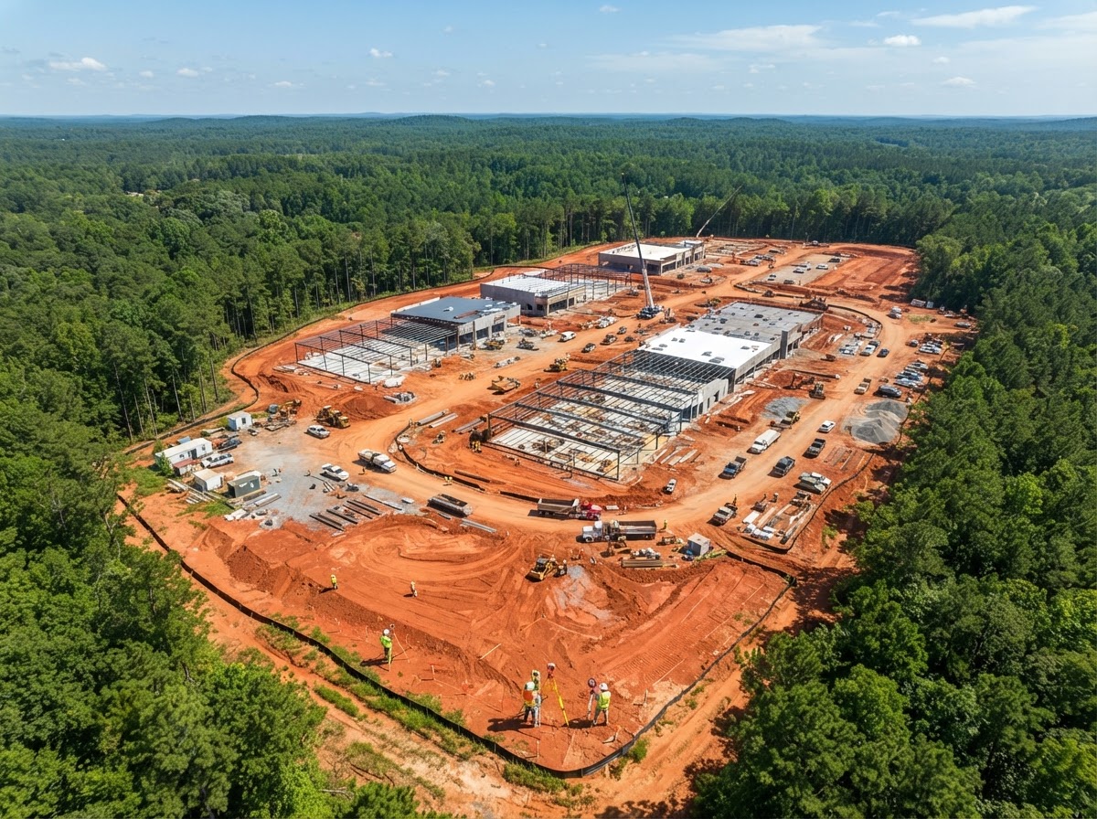
Scan complex terrain and job sites to create precise orthomosaics and 3D maps — keeping your ground teams safe and informed with accurate, repeatable aerial data.
What's Included
Capabilities
- Orthomosaic site maps
- 3D terrain models & DEMs
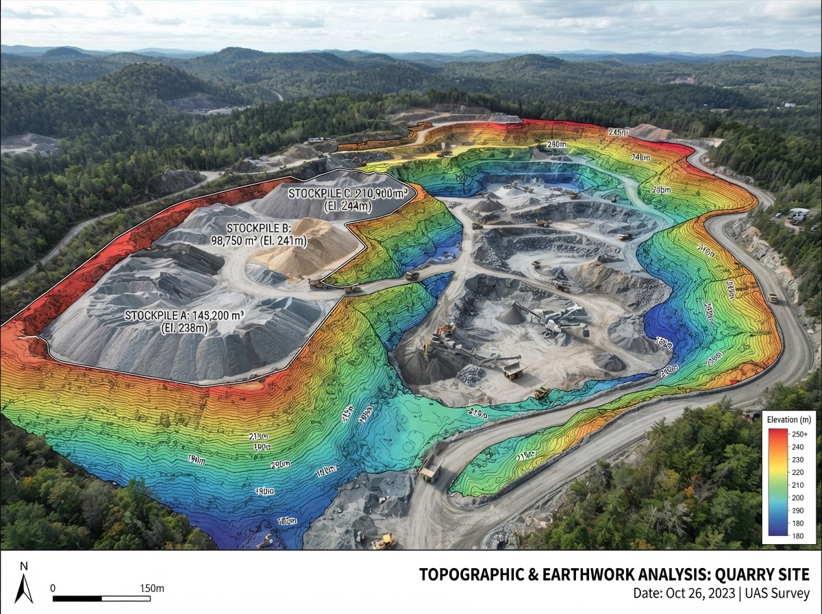
- Topographic contour generation
- Ground control point surveying
- Repeatable progress captures
Deliverables
What You Receive
- Geo-referenced orthomosaic TIFF
- 3D point cloud & mesh
- Contour line exports (DXF/DWG)
- Cloud-hosted map viewer
FAA Part 107
Certified & insured pilots
Fast Turnaround
48–72hr delivery


Ready to Get Started?
Schedule your aec surveying session or request a custom quote today.